
COORG, INDIA
Coorg, officially known as Kodagu, is one of India's most sought-after hill destinations. Located in Karnataka, it is characterized by forested hills, spice and coffee plantations, and pleasant year-round weather.
Coorg, officially known as Kodagu, is one of India's most sought-after hill destinations. Located in Karnataka, it is characterized by forested hills, spice and coffee plantations, and pleasant year-round weather.
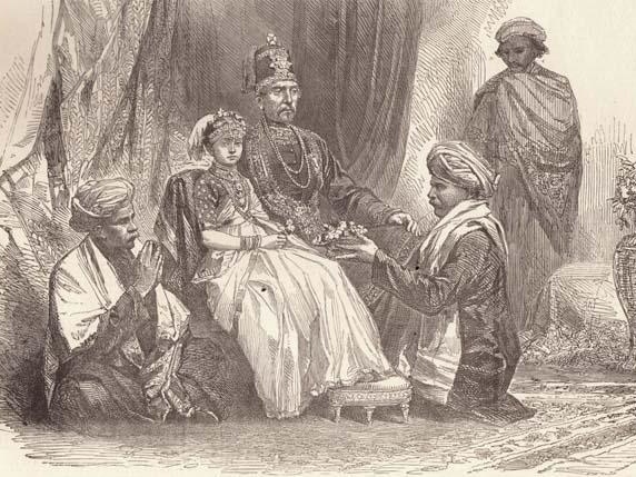
Coorg was a part of the successive Hindu dynasties that ruled over the south since ancient times. After the fall of the Vijayanagara Empire, the region came under the control of Veeraraja, who became the first of the Haleri Rajas who ruled for 221 years till the British took control of Coorg in 1834. After Indian Independence, Coorg was merged with the State of Karnataka in 1956
The Kodavas are the dominant community of Coorg. With a rich martial tradition and unique customs of their own, they add a touch of romance and mystery to the region. A number of other communities, including migrants from neighbouring states, make up the social mosaic of Coorg.


The Kodavas have a distinct ethnic identity with their own unique language, customs and traditions. The clan is central to Kodava culture, and families trace their lineage through clans. Though Hindu, they have many cultural differences from the other communities in southern India, making them truly unique.
Coffee cultivation was introduced in Coorg by the British. The first plantation was started by John Fowler in 1854, and very soon, every household in Coorg took to coffee cultivation. Apart from Coffee, the traditional crops were oranges, paddy and spices like black pepper, cardamom, Malabar tamarind (Kudampuli), etc.

Located on the eastern slopes of the Western Ghats, Coorg is characterized by gently undulating hills. It is drained by the Kaveri (Cauvery) River, which originates at Talakaveri and flows through the plains of Karnataka and Tamil Nadu before emptying into the Bay of Bengal.
